 |
Maps of the Saluda Grade
Maps may not be used commercially.
Copyright is by Norfolk Southern
|
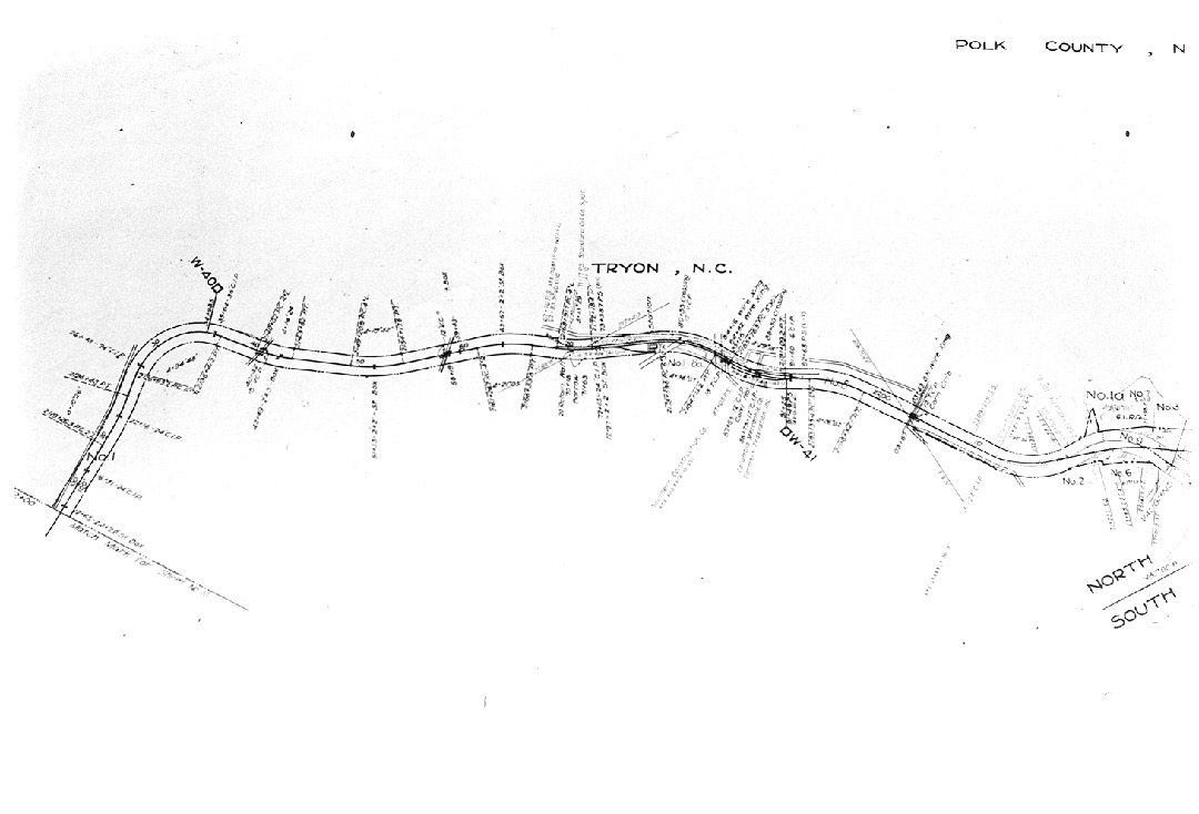 |
Above is the Tryon, NC to Horseshoe Curve just North of Tryon.
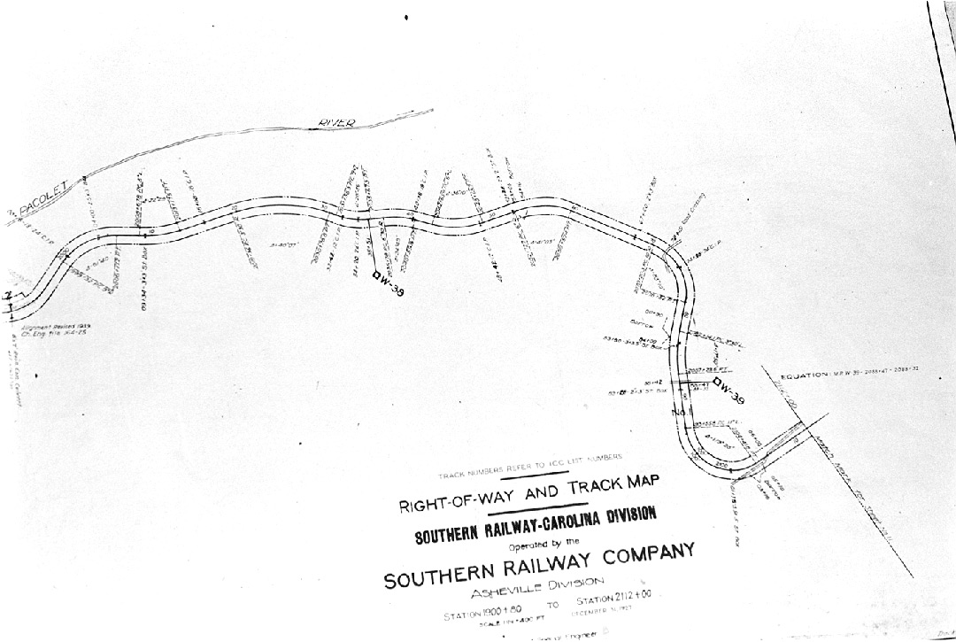 |
Above is from Horseshoe Curve to Melrose Falls
 |
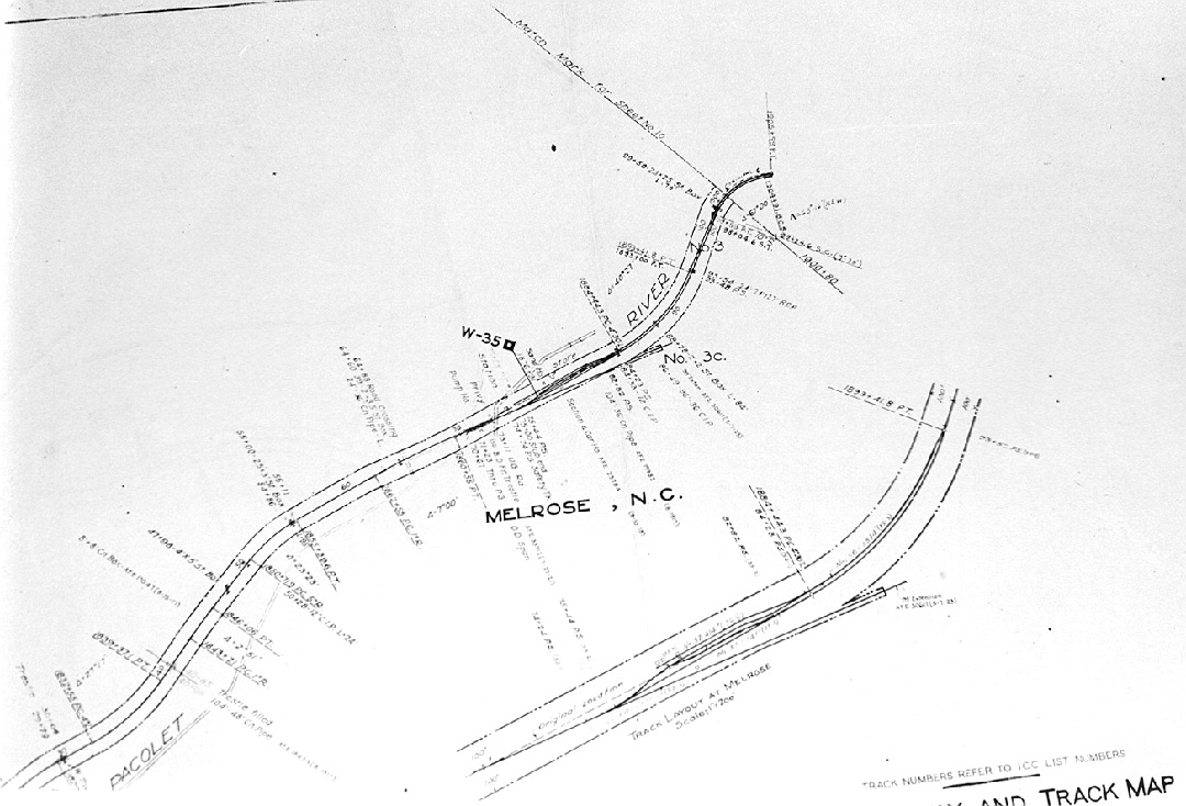
Melrose Falls to Rock Clift
 |
Melrose Yards and side tracks including the safety track at the foot of the grade.
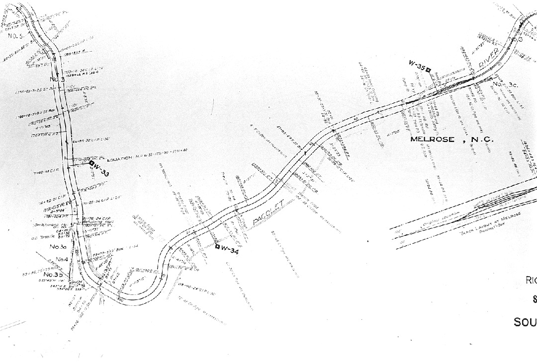 |
Melrose
to Saluda, NC
The
steepest part of the entire grade is from the bridge at the north end of the
yard
over the Pacolet River and road to about 1/2 mile to the left on the
map above.
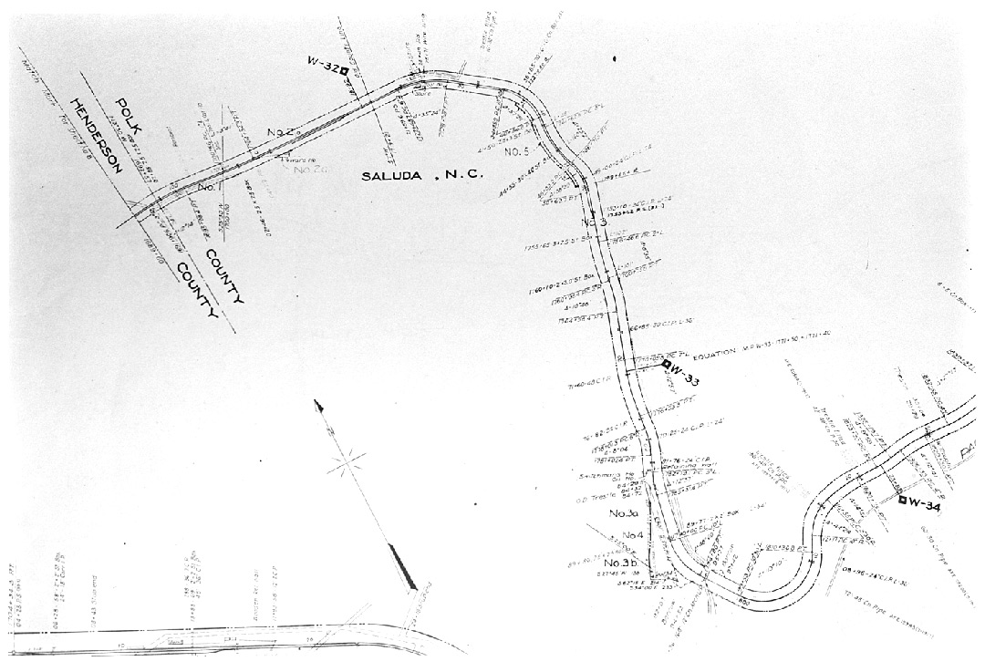 |
Saluda,
NC to the County Line
Safety Track No. 1 is just above the sharp curve at the
bottom right.
![]()